SPH Engineering Offers UAV River Survey Tools
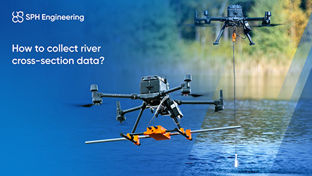
SPH Engineering provides UAV-based systems that enable fast, autonomous collection of river cross-section data, aimed at improving access to real-time hydrometric information. By integrating bathymetric sensors such as echosounders and low-frequency ground-penetrating radar (GPR) with drones, the company offers a way to survey even hard-to-reach areas without relying on fixed infrastructure or extensive manual work.
The system is designed to collect raw depth and bottom elevation data that is both accurate and repeatable. SPH Engineering highlights the global use of its technology in thousands of campaigns and points to its suitability for flood risk assessment and waterway monitoring. Optional sensors for surface velocity and water level provide additional layers of insight for agencies managing hydrological data gaps.
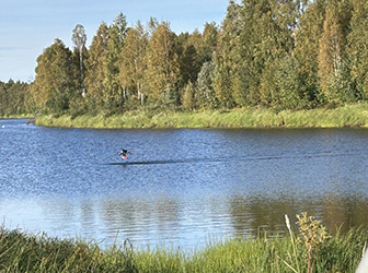
A recent example over the Torne River in Northern Europe illustrates how both echosounder and GPR methods can be applied on the same cross-section to deliver comparable results. The company says the setup is easy to deploy and supports users in obtaining timely data critical for proactive flood management and environmental planning.
For more information
Categories: Drones
2025-06-29 | SPH Engineering | Latvia | Views 275
More from SPH Engineering